|
Webinar: Obtaining and Using State LiDAR Data with Free Tools
Thursday, February 25, 2021, 2:00 PM - 3:00 PM EDT
Category: Webinars
February 25, 2:00 - 3:00 pm EDT
|
LIVE WEBINAR
Obtaining and Using
State LiDAR Data with Free Tools
|
|
|
|
|
|
|
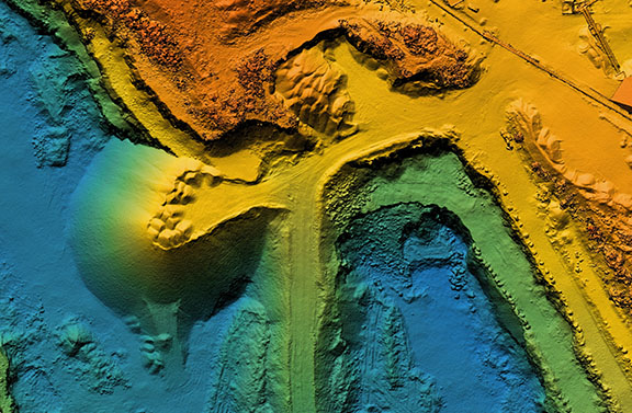
Indiana has a great repository of LiDAR data, but obtaining and using this data is not always easy. Once you get your hands on the data a world of possibilities opens for you, but how to open that door? In this presentation I will show you free and low-cost programs that can download, process, and allow you to view this valuable data.

Presenter: Philip Bernard, project manager for Frontier Geospatial, LLC has been working in GIS since 2001. Formerly the GIS coordinator for Monroe County and systems analyst for the Indiana Department of Local Government Finance, Philip brings his experience working with government to the private sector. He was overseen and implemented projects large and small from editing datasets to creating mapping and database solutions on a variety of platforms. Philip is also an FAA licensed UAV operator who flies data collection missions for Frontier Geospatial.
|
|
|
|
|
|
|
|
Contact: [email protected]
|
 View Month
 Search
 Go to Month


 Export Event