- Home
- 2026 GIS Conference
- About Us
- Membership
- Events
- Resources
- Forums
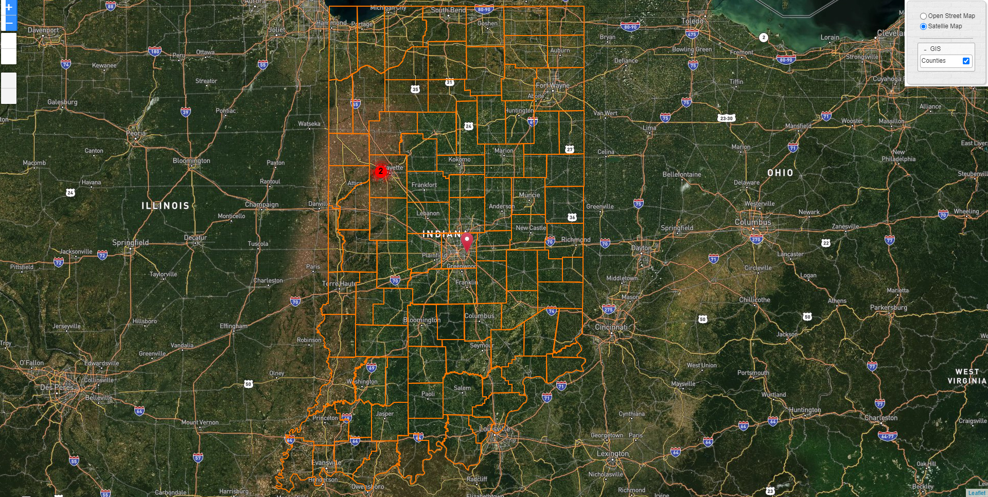
Countywide LiDAR and DEM TilesHere is the latest Indiana statewide QL2 3DEP LiDAR data available for download, which is made available as a web-based distribution method supported by researchers at Purdue University. As of December 2020, this data is final, and the official project and product-based Metadata is now available. |
