IndianaMap
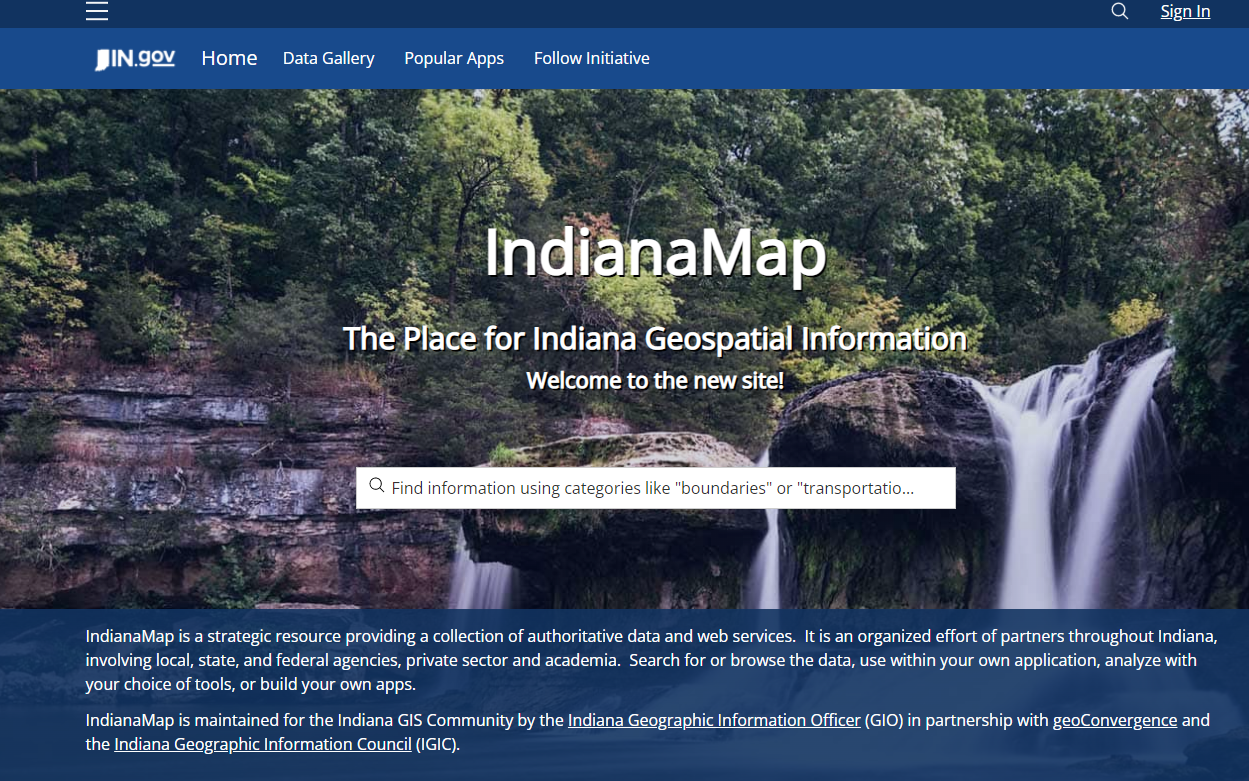
IndianaMap is the largest publicly available collection of Indiana geographic information system (GIS) map data. It is made possible by an alliance of partners from federal, state, local organizations and agencies, and universities. You can:
|